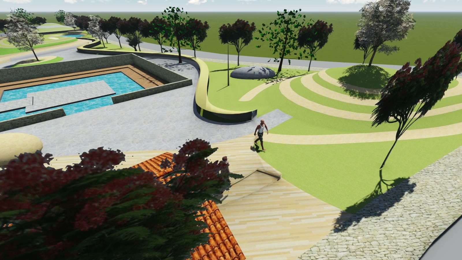
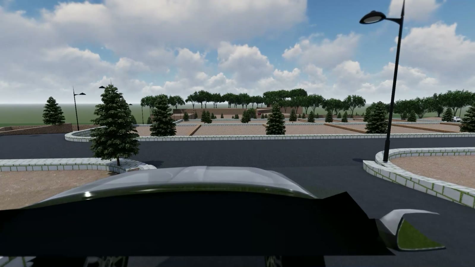
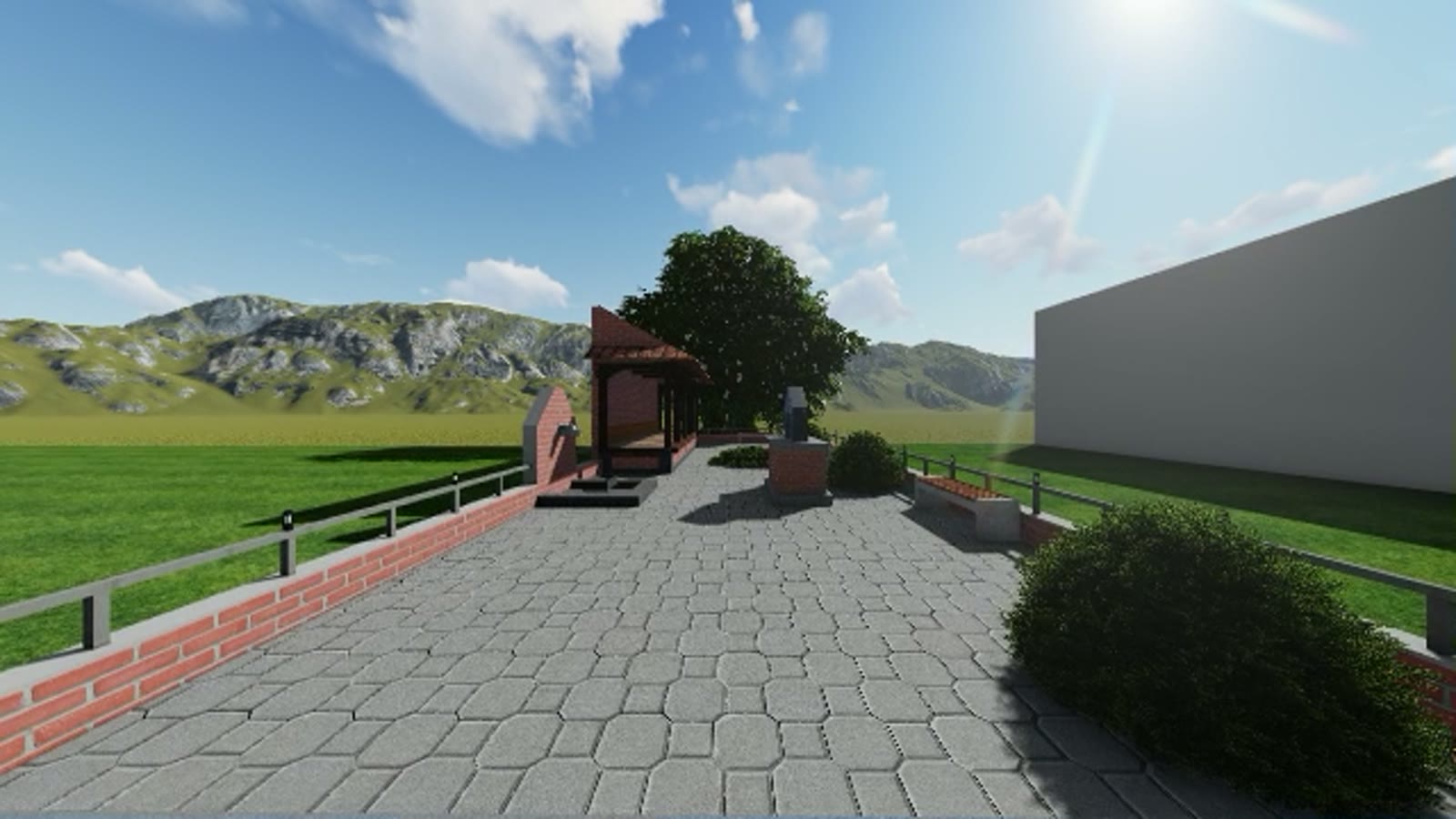
One of the practice's earliest fully visualised proposals, from 2018: reclaiming the leftover triangle of land inside a three-way road junction as a genuine public park. Curving paths link ponds, lawns, and planted mounds; a square water court anchors the centre; and bus stops on the surrounding roads make the park a place people actually pass through daily.
Junction islands like this exist across the valley as dead space behind kerbs. This study argued they can be the cheapest public land a municipality already owns.
Scope: landscape concept design and aerial visualisation film.