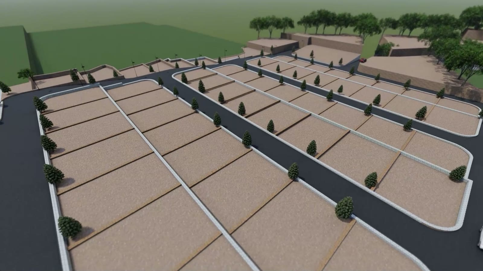
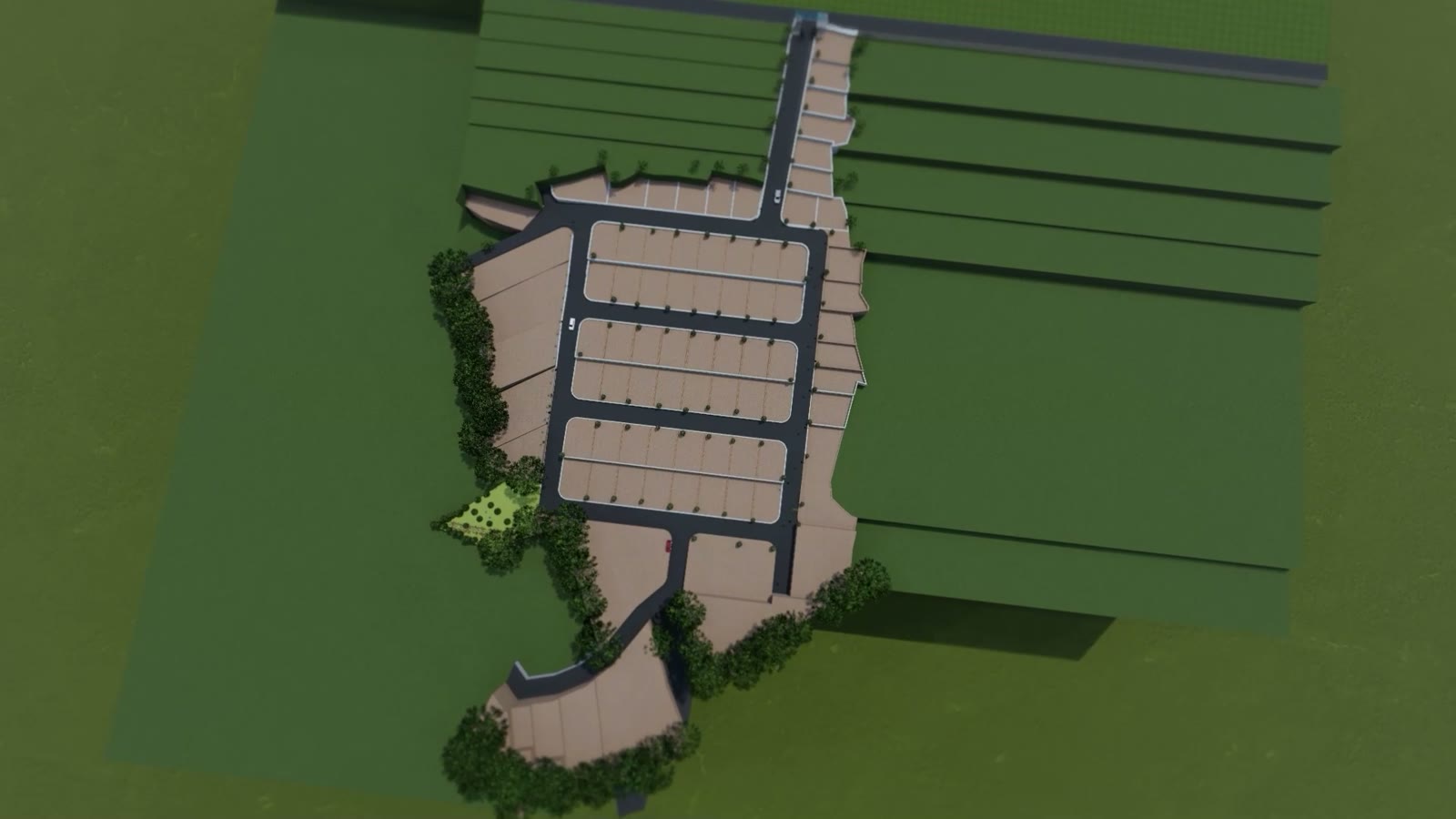
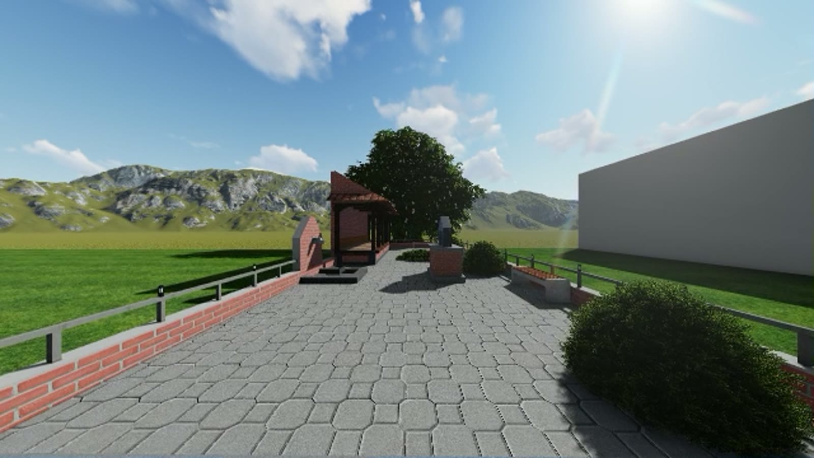
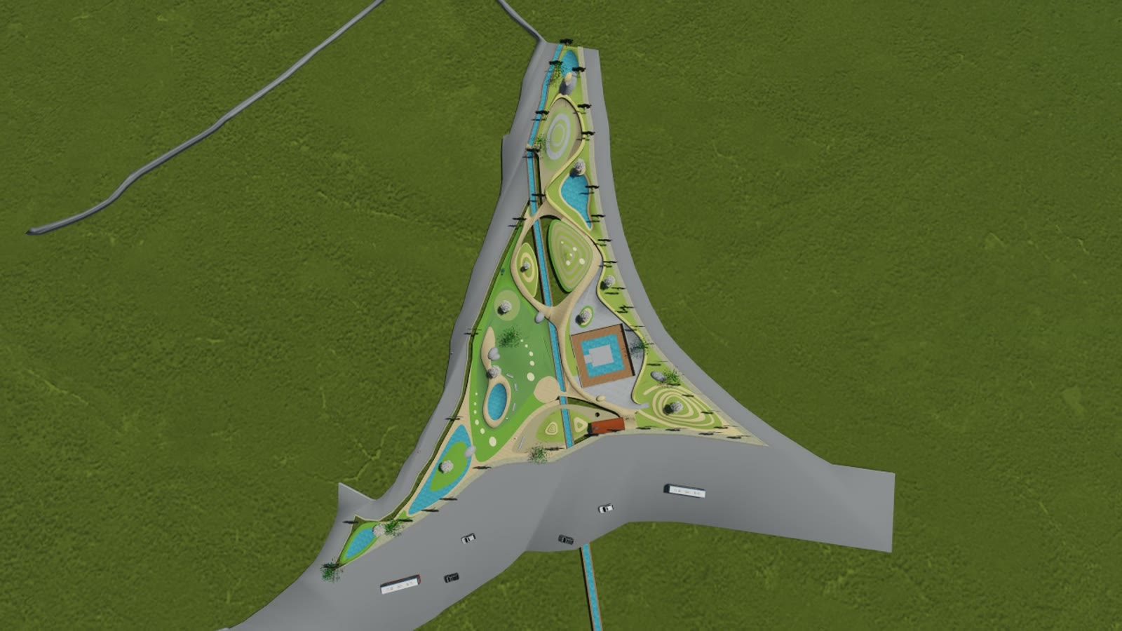
Prepared for presentation to the Kathmandu Valley Development Authority, this study visualises how raw valley land can become a fully serviced, planned neighbourhood: a hierarchy of tree-lined roads, walled plot terraces, street lighting, and landscaped edges — experienced at eye level in a continuous drive-through film rather than as flat drawings.
Visualising infrastructure this way lets decision-makers and affected landowners see exactly what a land-pooling outcome feels like from the street, long before earthworks begin.
Scope: land-use concept, infrastructure layout, and presentation-grade 3D drive-through visualisation.